South Anderson Drive footpath concrete blocks update
Ian Yuill
Liberal Democrat councillor for Mannofield, Airyhall, Braeside, Broomhill, Garthdee, Kaimhill and Ruthrieston Learn more
Latest Ashley and Broomhill Police report
November Braeside and Mannofield Police report
South Anderson Drive footpath concrete blocks update
Latest Ashley and Broomhill Police report
November Braeside and Mannofield Police report
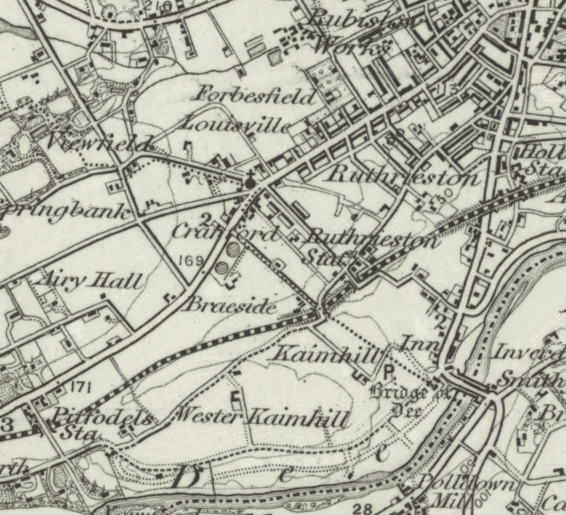
Fascinating 1896 map and satellite photo comparison of our area
by Ian Yuill on 16 May, 2017
 The National Library of Scotland has created an online tool to allow people to see how an area looks in a recent satellite photo compared to a map published in 1896.
Using the blue slider button on the left hand side of the tool’s screen, you can look at the map, the photo or, best of all, a merged combination of both.
The link above will take you to the tool zoomed in on our area but you can of course use it to look elsewhere in Scotland.
Sign up here to receive more news and information from Ian Yuill.
Leave a comment
Leave a Reply